Question: Map Making - how to set field size in GE v9

Your forum for all discussions around Modding.
cburgess
Posts: 21
Joined: Thu May 18, 2023 2:06 am
Location: USA

Question: Map Making - how to set field size in GE v9

Post by cburgess »

When making a map mod using Giants Editor v9, is there any way to set a field size to a specific ha/ac?

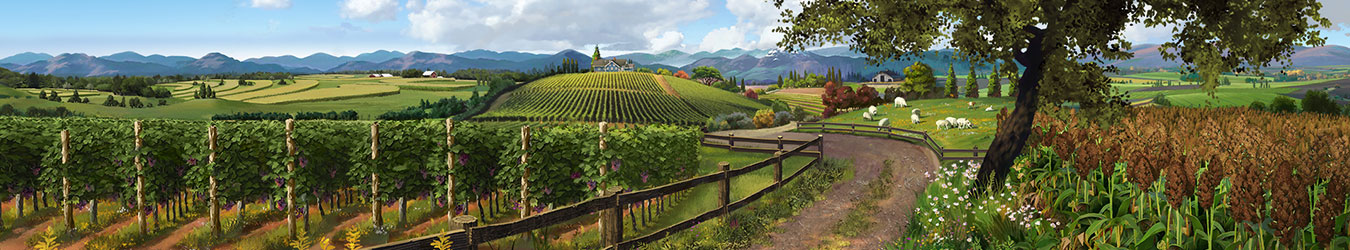
I am creating an American Midwest map where the traditional layout of farms is based on a Section of land = 160 acres, or, a quarter square mile. There are 4 sections to a square mile. Eventually, a section was subdivided into smaller fields of 40 acres, 20, 10, and 5, as needed. I wish to make a map based on specific field sizes. Farm layouts in square Sections (160 acres) is commonly found west of the Mississippi River, but can also sometimes be found in States along the eastern side, ie, Illinois, Indiana, etc.

Here is a screenshot of Google Map of farm fields near Shannon City, Iowa USA, showing sectional land layout:

Image

Here is an example of a 160-acre (section) farm layout from "Farm Knowledge" (by Sears & Roebuck):

Image

I did find this topic, but I am uncertain if the feature is still included in GEv9 viewtopic.php?t=106790
Eische
Posts: 3823
Joined: Thu Oct 18, 2018 5:17 pm

Re: Question: Map Making - how to set field size in GE v9

Post by Eische »

Set field sizes function is not available anymore. In FS19 and FS22 field sizes are calculated by the game itself automatically.

If you want to have realistic field sizes matching your google maps view, you need to make sure your maps view is sized correctly.
A standard size maps is 2x2km or 1.24x1.24 miles.
A 4x maps is 4 times the size (area) of a standard map, so 2.48x2.48 miles.

Looking at your map view and assuming that the main road grid is 1 mile, your screenshot shows an area of about 4x4 miles which is not fitting to typical map sizes (see above).

You can always check your field sizes after you created your fields. Mark the fields transform group and run the script "get field sizes". It takes afew seconds and will show the field sizes in the editor console on the bottom.
Playing on PC - Win10
Ryzen 3600
RX 5500XT
16GB Ram
How to post log file
How to upload pictures
Please report bugs for FS22 using the bugtracker
TheSuBBie
Posts: 548
Joined: Wed Jun 10, 2020 11:38 am

Re: Question: Map Making - how to set field size in GE v9

Post by TheSuBBie »

Roughly speaking a standard size map will have room for about 16 40 acre plots on it
As your fields appear to be square or rectangular the easiest way to create fields of a set size is to create a template,
so in GE Create -Primitve -- Plane and set that to the size of the field you require for example a square 40 acre field will be 402.336m x402.336m (1320 ft x 1320ft) so the plane size will be 'X' Scale = 402.336, 'Z' Scale =402.336 and place that on the map where you want the field then place your field dimension corners on the relevant corners.
A 20 acre template would be 'X' = 201.168, 'Z' = 402.336, 10 acre = 'X' = 100.584, 'Z' = 100.584 etc
You could just create the 40 acre template and texture it with a suitable grid sized to cover all acre sizes you want to create.

There is a tutorial/script that may help in creating the field dimensions and filling the farmlands xml, available here,

https://farmerboysmodding.com/index.php ... -tutorial/ -- log in required for download
cburgess
Posts: 21
Joined: Thu May 18, 2023 2:06 am
Location: USA

Re: Question: Map Making - how to set field size in GE v9

Post by cburgess »

Thank you Eische and TheSuBBie - your replies are most helpful, very helpful.

The Google map image was simply an example of how real-world midwest farmland is typically laid out. I do not intend to recreate the whole image into an FS22 map.

The idea of making templates is very good. I was thinking about that possibility. That would speed up the development of the map's base features.
Post Reply